Docking PosititionsHi Everyone
Last lap to the USA tour this Saturday , March 5th
I will begin by assigning river docking positions.
As mentioned earlier, the initial idea was to launch in the
Carter Lake
Which is just in the vicinty of Eppley Airfield (KOMA) and take off from there.
But unfortunately this Lake is NOT simulated in Flightgear scenery.
So we will resort to
PLAN B, and we will dock in the Missouri river, which also border, not only the city of Omaha, but also the Eppley Airfield.
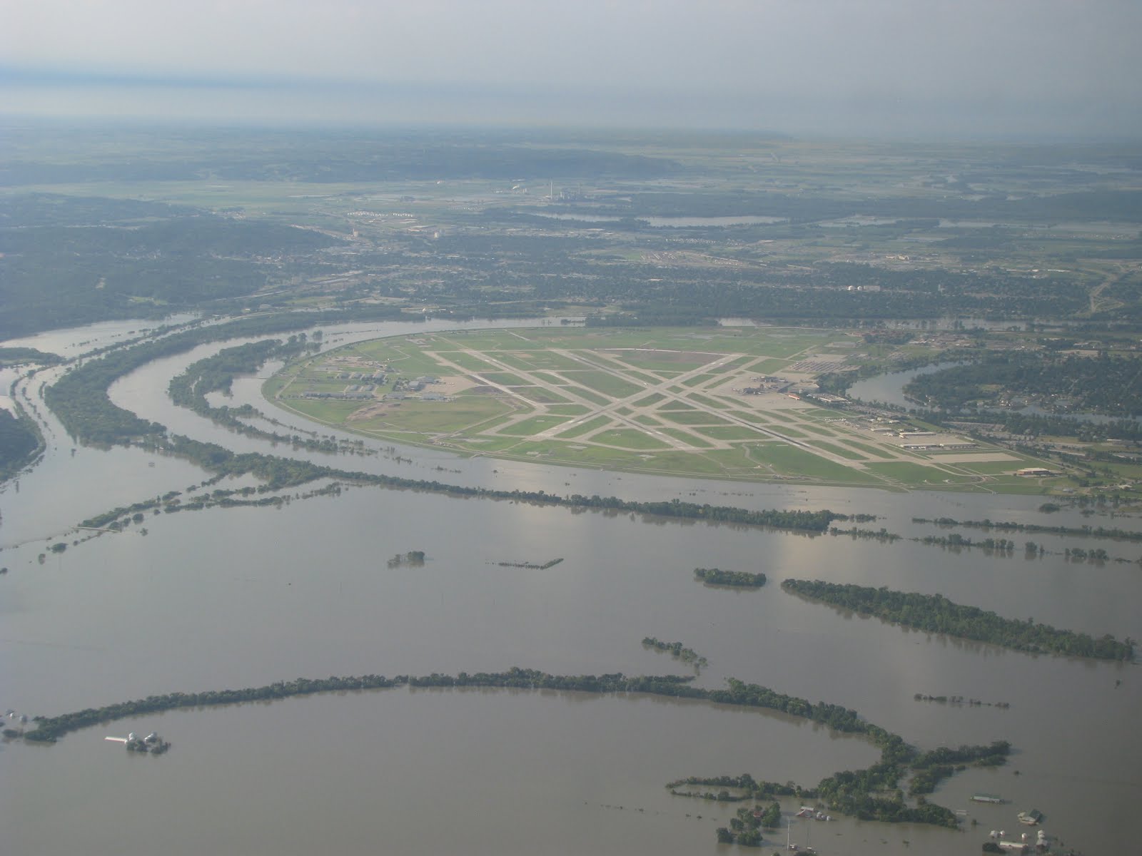
The river actually offers us in FlightGear a really straight strip that is perfect for the take off (run) swim.
Below, please find docking positions (as lon, lat,heading coordinates)
These docking positions will allow us to launch FlightGear while floating in your boat in the river. And it will allow us to be prepared for the take off, which will need to be either North or South direction. Preferentially North, from our docking positions.
Code: Select all
--lon=-95.88707100 --lat=41.31550339 --heading=50 #Lesbof
--lon=-95.88749872 --lat=41.31590092 --heading=50 #IH-COL
--lon=-95.88791957 --lat=41.31624932 --heading=50 #Skyboat
--lon=-95.88837566 --lat=41.31659817 --heading=50 #Side
--lon=-95.88878959 --lat=41.31694401 --heading=50 #JWocky
--lon=-95.88916488 --lat=41.31729974 --heading=50 #it0uchpods
--lon=-95.88956578 --lat=41.31763795 --heading=50 #MV-DP
--lon=-95.88999721 --lat=41.31800306 --heading=50 #Swamp
--lon=-95.89043129 --lat=41.31839427 --heading=50 #Open
--lon=-95.89096035 --lat=41.31883934 --heading=50 #Open

